Presentation
( fr )Chimère is a free software under GPLv3.
Chimère is a cartographic mashup using OpenStreetMap as a default map layer.
Chimère enables to create online collaborative and thematic maps. Contents (texts, pictures, multimedia) are associated to basic geographics items (Point Of Interest, routes). Additions on the map are open to everybody with no authentification but are moderated by a team in charge of the map.
Originally developed for the needs of an interactive eco-friendly map of the Rennes Métropole (Carte OuVerte du Pays de Rennes), Chimère is perfectly suitable for projects wishing to enrich an OpenStreetMap map of subjective items (e.g. really safe bike lanes) or "perishable" items (e.g. a one-off hike path).
From a "simple" geographic mashup, the project now aims to become an easier way to contribute to OpenStreetMap for people interested in a particular domain, thanks to the feature to import and export OSM data. That's why a particular effort has been made to simplify contributions for people who are no computer experts.
Features
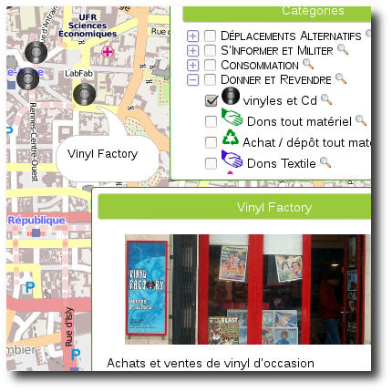
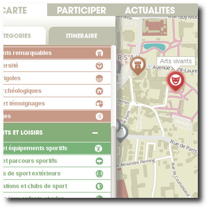
An online thematic map
- Display (by default) of the mapnik OpenStreetMap layer and possibility of other map layers - by default MapQuest, OSM Transport and Cyclemap are available
- Display on the map of POI (with markers) and routes (with colored polylines)
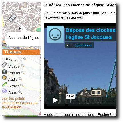
- Display of the details of a POI (name, description, image and multimedia gallery)
- Organisation of cartographic items (POI, route) by thematic layers (categories and subcategories)
- Dynamic evaluation of available categories on display in regards to currently available items on the user screen
- Ability to cut an instance by areas. Each area may have its own categories, a specific URL (the main URL + /the-area-name), a new default center, etc.
... a participatory map
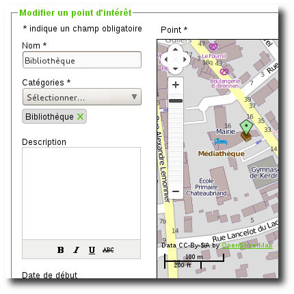
- Addition of a cartographic item (POI, route) on the map by a user without authentication (the item is only available after moderation)
- Administration interface for moderation and configuration
- Multiple categories for an item, to avoid multiple inputs
- Import of external data from ShapeFile, KML, GeoRSS, CSV
- Export of Chimère data to ShapeFile, KML, CSV
- Import of OpenStreetMap data and export to OpenStreetMap database, with edit conflicts awareness.
... a living map
- Events, to easily announce and geo-localize items (lecture, demonstration, etc.) at a specific date
- RSS feeds (whole site, on a specific area, on a specific category).
Examples
Here are some Chimère instances.
If you want to add your Chimère to this list just send me an email.
Carte OuVerte du Pays de Rennes et de Vitré
Wiki Brest
Carte OuVerte du Pays de Saclay
Tempo Pyrénées à Pau